North Branch Susquehanna River Water Trail
2023 PA River of the Year designation – watch the video
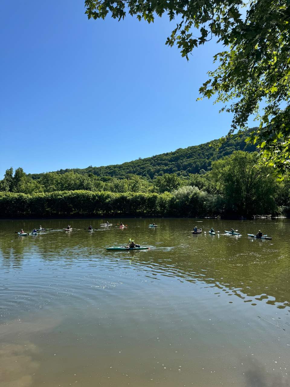
The EMHR proudly serves as the official water trail management organization for the Susquehanna River Water Trail’s Upper North Branch, which extends 146 river miles across the Great Bend area in Susquehanna County and then from northern Bradford County at Sayre down to the Luzerne/Columbia county line near East Berwick. The North Branch is co-managed by the Susquehanna Greenway Partnership, which handles the Lower North Branch from the Luzerne County line to Sunbury (36 miles). Designated as a National Recreation Trail of the National Park Service in 2009, the North Branch is part of the Pennsylvania Water Trail System coordinated by Pennsylvania Fish & Boat Commission and the Department of Conservation and Natural Resources’ (DCNR) ExplorePATrails system.
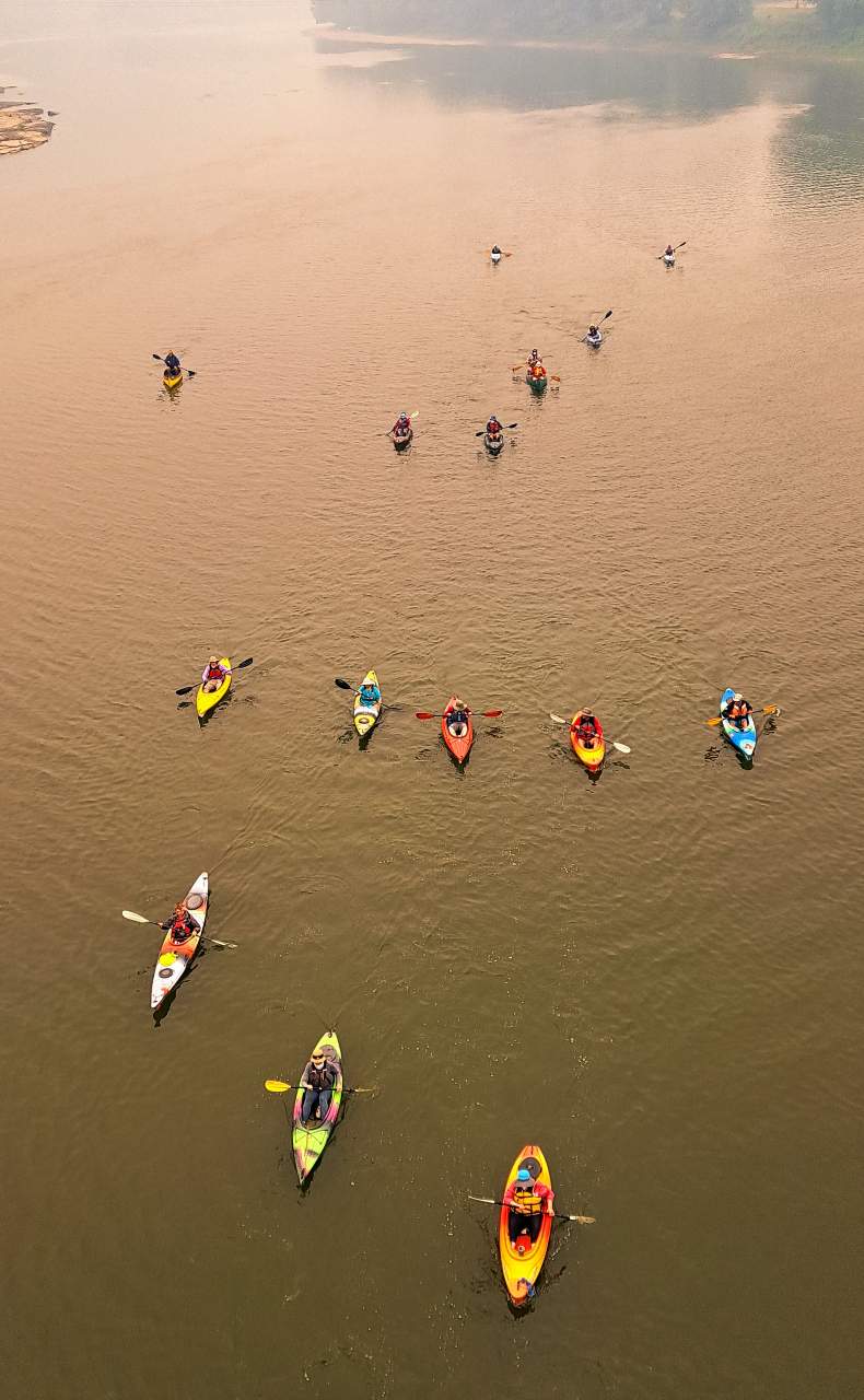
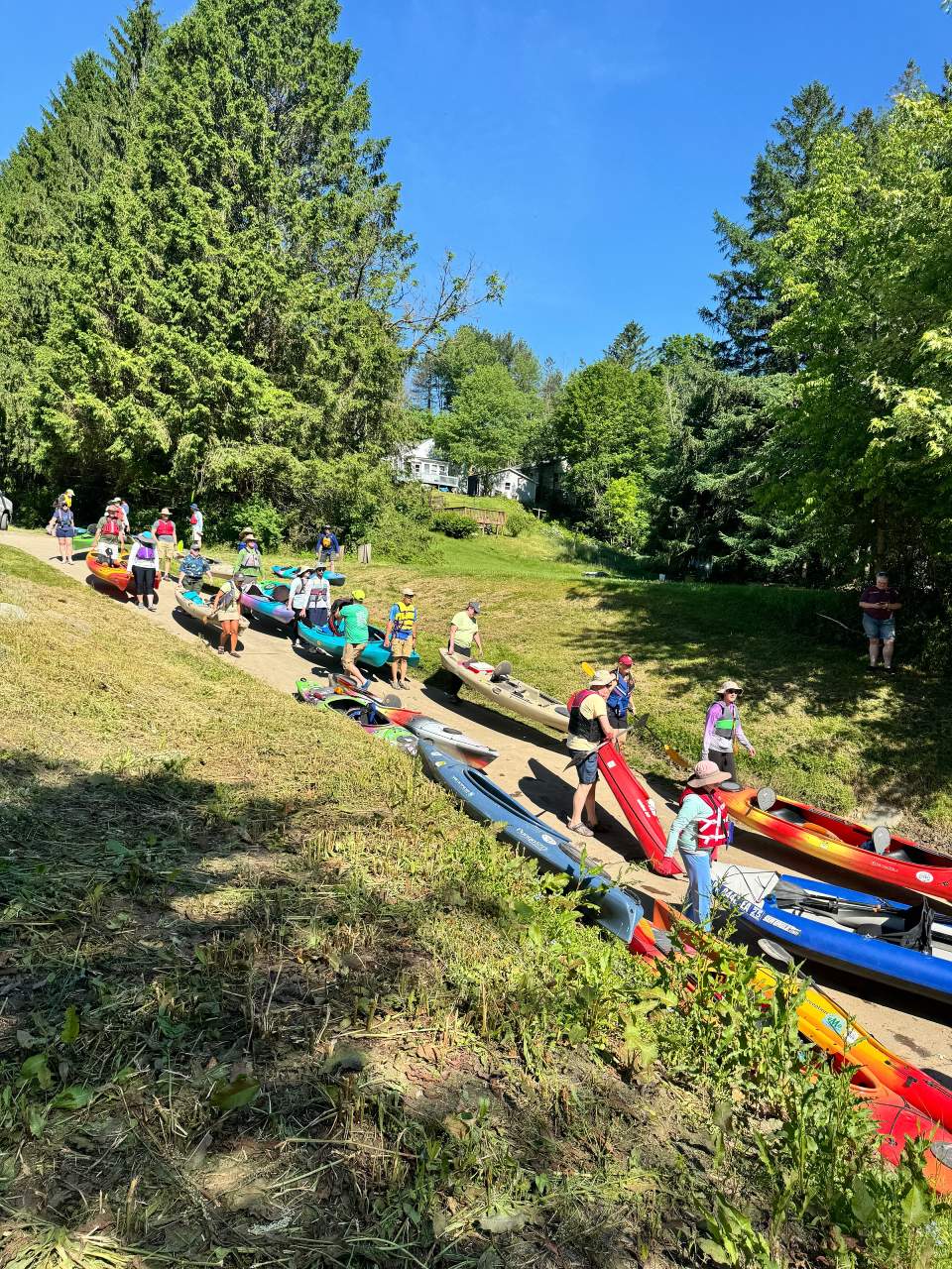
To assist with the management of the upper North Branch in Pennsylvania, the EMHR partners with regional outfitters and river enthusiasts known as water trail managers who are each assigned a designated section of the Susquehanna. These water trail managers assist the EMHR in hosting various events like multi-day sojourns, single-day paddles and river cleanups; monitoring river access points and educating the public about the history and ecology of the Susquehanna while promoting environmental stewardship to ensure the long-term sustainability of this remarkable natural resource.
Within the state of Pennsylvania, the Susquehanna River is divided into five sections that are managed by four cooperating organizations. The EMHR manages the upper section of the North Branch while the SGP manages the lower section as well as the entire 228 miles of the West Branch. The Susquehanna River Trail Association (SRTA) is responsible for 53 miles of river from Sunbury to the Dock Street Dam in Harrisburg and the Susquehanna National Heritage Area (SNHA) manages the remaining 56 river miles from Harrisburg to the Pennsylvania-Maryland border. These organizations share the common goal of connecting river communities, their residents and visitors through enhanced recreation, healthy living, economic prosperity and environmental stewardship.
The Susquehanna River Water Trail – North Branch Map & Guide has been updated by EMHR and is currently available in digital PDF format on this page. After receiving funding from the DCNR, the EMHR has also printed the updated North Branch maps in waterproof booklet format. You can purchase the maps here on our website or at the EMHR office in Towanda and various other locations to avoid paying shipping costs.
To view stories and photos posted by fans of the water trail, follow the “Susquehanna River North Branch Water Trail” on Facebook as well.
Purchase Map & Guide
To check the water levels in the section of the Susquehanna River you will be paddling, go to:
https://water.weather.gov/ahps/
For Pennsylvania Susquehanna River Water Trail branch maps, you can shop at the following links:
North Branch Section (Endless Mountains Heritage Region)
https://emheritage.org/north-branch-susquehanna-river-water-trail/
West Branch Section (Susquehanna Greenway Partnership)
https://susquehannagreenway.org/product/susquehanna-river-water-trail-map-guide-west-branch/
Middle Branch Section (Susquehanna River Trails Association)
https://susquehannagreenway.org/product/susquehanna-river-water-trail-map-guide-middle-section/
Lower Branch Section (Susquehanna National Heritage Area)
https://susqnha.org/support/online-store/
The EMHR’s Water Trail Managers:
Emily Baldauff – Appletree to Canal (River Miles 201 to 180)
Water Trail Coordinator
Emilyrinaldi236@gmail.com
Dana Rockwell – Great Bend area (River Miles 356 to 339)
danarockwell@hotmail.com
Keith Brown – Sayre to Laceyville (River Miles 291 to 240)
Endless Mountains Outfitters – Sugar Run, PA
kbrown@tsd.k12.pa.us
Art Coolbaugh – Laceyville to Appletree (River Miles 241 to 207)
Susquehanna Kayak & Canoe Rental – Falls, PA
contact@kayaktheriver.com
Brian Swingle – Canal to Test Track (River Miles 180 to 148)
Five Mountain Outfitters – Shickshinny, PA
brianswingle@hotmail.com
Charlie Anderson – Great Bend area (River Miles 356 to 339)
bolgerlake@epix.net
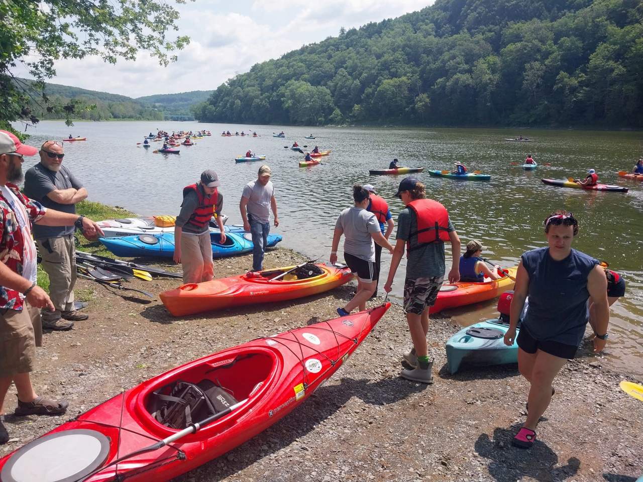
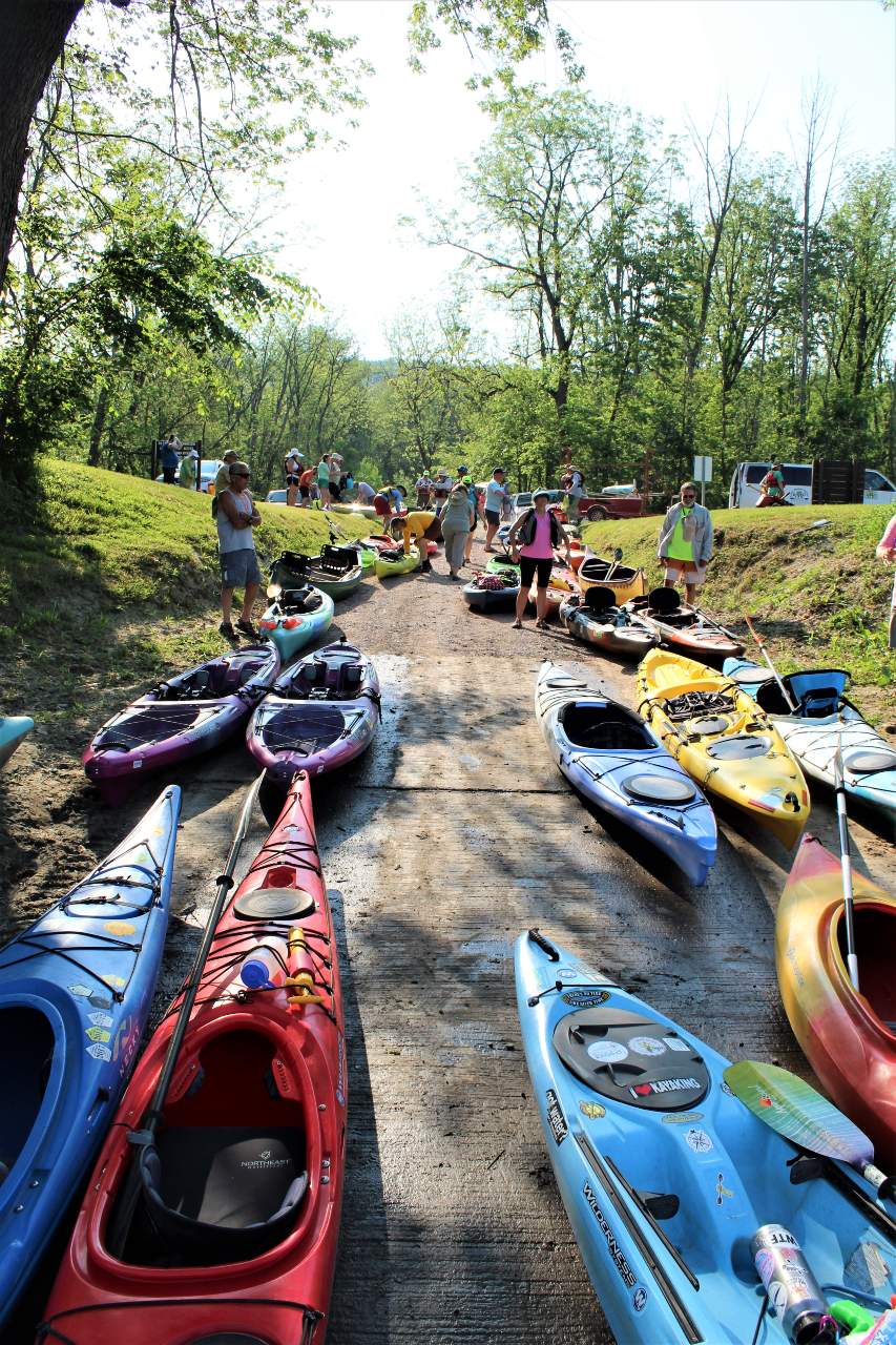
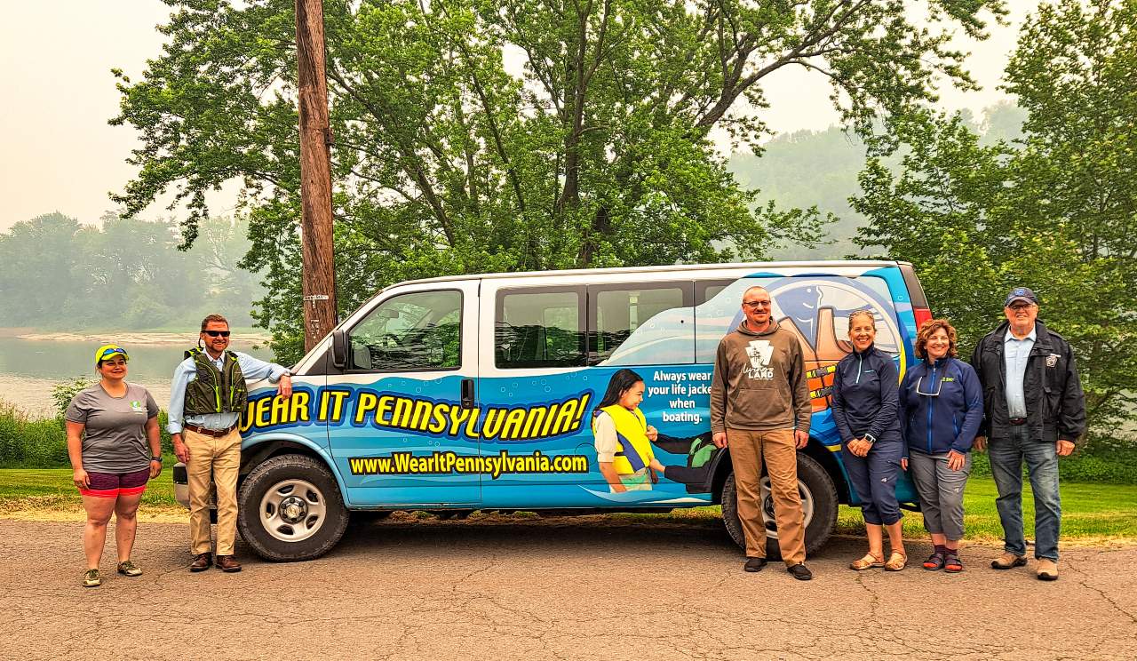
Check out our Paddling Safety Videos before your next river trip!
The EMHR, DCNR and Endless Mountain Outfitters partnered to create a series of videos intended to educate new and novice paddlers about what to take on your next river adventure, how to prepare, and how to navigate or avoid safety hazards you may encounter along the water trail. We want everyone to experience the beauty and serenity of our North Branch Water Trail, but we want them all to be safe and responsible while doing so.
Know Before You Go
Skill Level
Life Jackets and What to Wear
Emergencies
Water Hazards
"The significance of the region lies not in a few individual landmarks of national merit, but in hundreds of local resources knit together into a single, richly textured regional blanket."

